Whether you’re looking for a quick way to get your steps in, or preparing to summit your next mountain peak, Sacramento is your hub for an endless number of hiking adventures. From a tranquil trip up the American River to the heart-racing ascents up the gorges at the Auburn State Recreation area, every trail offers a memorable trek through the heart of California. To help you get out on the trail, check out these hikes ranked from easiest to hardest.
EASIEST
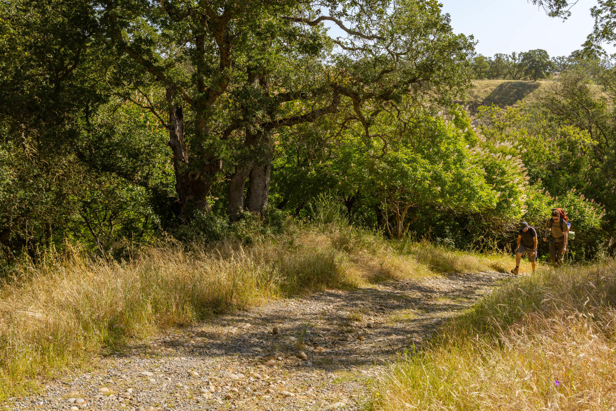
Pictured: American River Parkway Trail
American River Parkway Trail
Difficulty: Easy to Moderate
Distance: 32 Miles
Dogs Allowed: Yes
Accessibility: ADA-accessible trails and facilities
The crowning jewel of Sacramento, the American River Parkway is an escape to the outdoors within arm’s reach. With 32 miles of paved trail, this multi-use park provides visitors and residents with space for all sorts of outdoor activities. Begin at Discovery Park or one of the other dozen access points, and wherever you start, this relatively flat trail allows you to go at your own pace and start or stop whenever you please.
Cosumnes Nature Loop
Difficulty: Easy
Distance: 4 Miles (full loop)
Dogs Allowed: No
Accessibility: ADA-accessible trails and facilities
With a maximum elevation of just 51 feet, you’ll have a clear view throughout your hike at the Cosumnes Nature Preserve. The four miles of trails at the preserve begin at the visitor center, then take you across wetlands, grasslands and ancient forests; homes to all sorts of wildlife. This hike, while long, is perfect for casual hikers or those looking to connect with nature.
INTERMEDIATE
Johnny Cash Trail
Difficulty: Moderate
Distance: 6.6 Miles
Dogs Allowed: Yes
Accessibility: ADA-accessible trails and facilities
Named after the Man in Black, the Johnny Cash Trail in Folsom offers not only a history lesson but a challenge for anyone looking to take their hiking to the next level. While the Johnny Cash Trail itself is only 2.5 miles, its eventual connection to the Folsom Lake Trail allows you to loop around Folsom Prison at around 6.6 miles. You can start your hike at Folsom Rodeo Park, then head east, where you’ll climb over 800 feet at its peak.
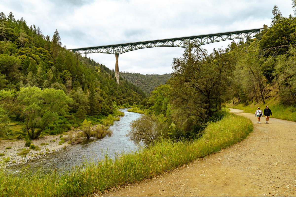
Pictured: Lake Clementine Trail & Foresthill Bridge
Lake Clementine Trail
Difficulty: Moderate
Distance: 4.4 Miles (out and back)
Dogs Allowed: Yes
Accessibility: Not ADA Accessible
A beautiful and seemingly flat start to this trail quickly turns into a steep ascent as you make your way to Lake Clementine. Along the way, you’ll be met with stunning views as you pass beneath the tallest bridge in California, the Foresthill Bridge, and the rushing water of the North Fork of the American River. Once at the peak, take a well-deserved break as you watch the torrents of water burst from the North Fork Dam.
DIFFICULT
Cardiac Trail at Auburn State Recreation Area
Difficulty: Difficult
Distance: 4.2 Miles (out and back)
Dogs Allowed: Yes
Accessibility: Not ADA Accessible
The Cardiac Trail is a true test of endurance, even for the most experienced hiker, as you descend hundreds of feet down a dusty, steep canyon side toward Oregon Bar on the American River. Once down, the cool rush of air from the river will be a welcome but temporary relief, as the second half of this hike climbs back up 800 feet to the start of trail. Stay hydrated and take breaks; this trail has some shade, but not enough to keep you cool during hot California summers.
Stebbins Cold Canyon Loop
Difficulty: Difficult
Distance: 5.1 Miles (loop)
Dogs Allowed: Yes
Accessibility: Not ADA Accessible
One hour east of Sacramento, you’ll find one of the more difficult trails that rewards hikers who can reach its peak. This switchback-heavy trail ascends over 1,400 feet to a jagged, narrow path overlooking Lake Berryessa, where you can take in the views and give yourself a well-earned rest. Once ready, the second half of this hike is a steep descent down the back of the canyon. Be sure to bring plenty of water and sunscreen, as there is little shade.